CYVL
Transform infrastructure management with real-time asset intelligence.
What is CYVL?
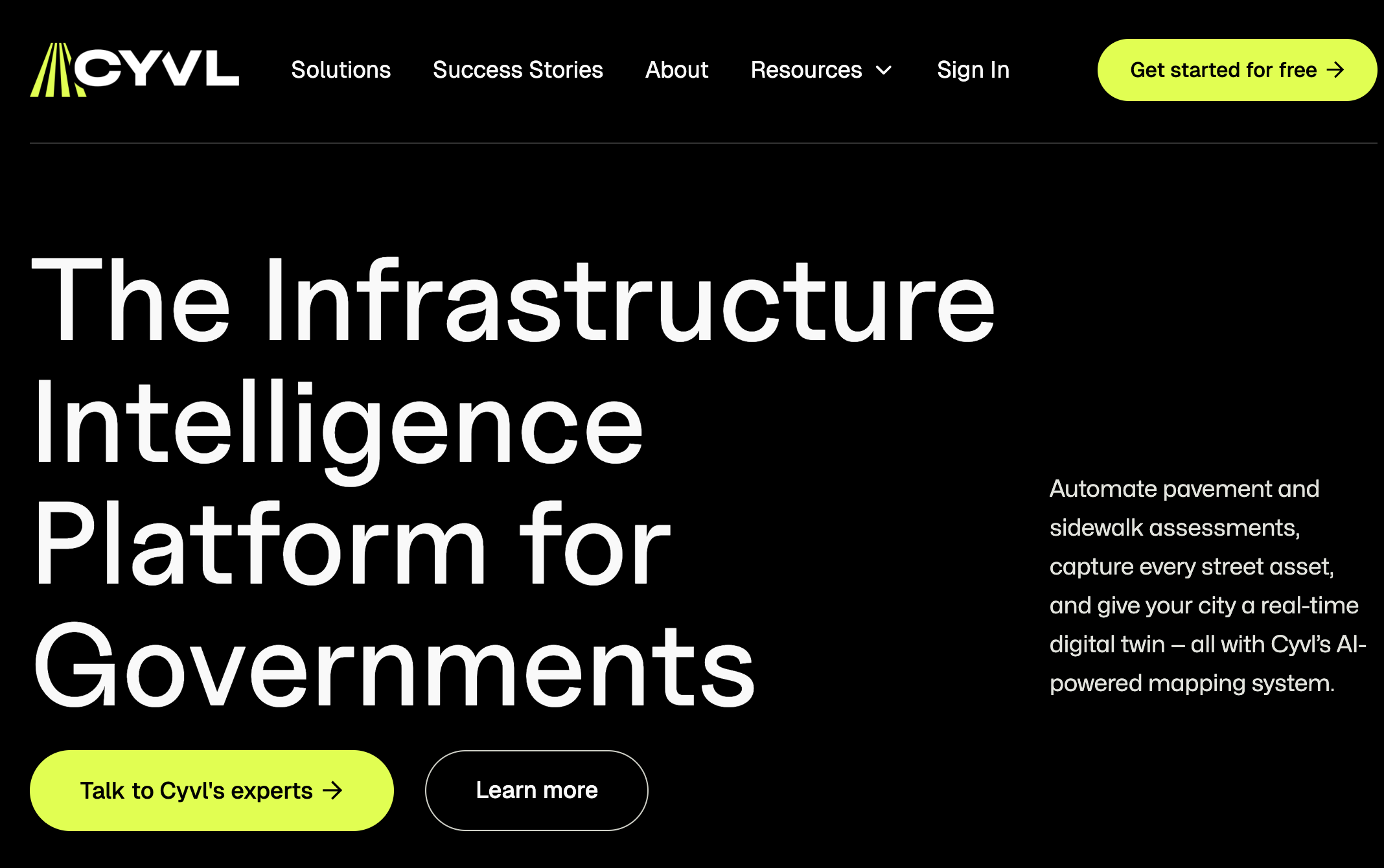
CYVL is an advanced infrastructure intelligence platform designed extensively for cities and engineers, bridging the significant gap that often exists with outdated municipal data. By leveraging AI, LiDAR technology, and 360° imagery, it automates critical processes such as pavement and sidewalk assessments, asset management, and infrastructure decision-making. This solution addresses a pervasive issue: many cities manage vast amounts of infrastructure worth billions, yet rely on data that is often years out of date, which can lead to inefficient use of resources and infrastructure failures. CYVL effectively aims to combat this predicament by providing a continuously updated and comprehensive picture of all infrastructure assets, thus enabling informed decision-making.
The core functionality of CYVL involves transforming everyday vehicles into mobile survey instruments. A sensor rig, equipped with survey-grade LiDAR, 360° cameras, and GPS, can be self-installed onto any existing vehicle in just a matter of minutes. This accessibility means that every route taken by a city's fleet contributes to an ongoing inventory of infrastructure data. Unlike traditional surveys, which provide a static snapshot of conditions often resulting in discrepancies over time, CYVL maintains living ground truth data that evolves with the traffic network. As fleets operate on their normal routes, the platform gathers extensive data, allowing for engineering-grade accuracy in assessing infrastructure conditions.
One of CYVL's distinguishing capabilities is its ability to compile and map over 40 different asset types, including pavements, sidewalks, ADA ramps, signs, markings, signals, streetlights, and manholes. Each of these assets is digitally visualized in a centimeter-accurate digital twin model, which the AI further classifies, measures, and scores automatically based on current conditions. This rigorous approach to infrastructure management ensures that municipalities are not just fixing what is broken, but proactively addressing potential failures before they happen. The impressive speed at which the platform operates—reportedly four times faster than traditional methods—has caught the attention of over 500 government clients across more than 30 states, indicative of its growing reputation in the infrastructure sector.
Typically, CYVL is well-suited for public works departments, engineering teams, and city planners who are committed to optimizing infrastructure management processes. These professionals are often tasked with maintaining a plethora of assets while ensuring public safety, resource allocation, and budget management. By employing CYVL, these teams can view comprehensive asset conditions, draft capital budgets, generate multi-year plans, and create work orders, all through an intuitive platform built on real-time data, thereby enabling them to act swiftly and effectively. An illustrative case is the initiative from Buffalo, NY, where Mayor Sean Ryan implemented the “Pave It!” campaign that relied on comprehensive data from CYVL to prioritize road quality across the city, demonstrating how data-driven decisions can enhance public service and infrastructural commitments.
When comparing CYVL to other platforms in the urban infrastructure management space, its commitment to providing an ever-evolving and detailed view of assets sets it apart, particularly the focus on continuous data capture rather than limited sample surveys. Many traditional systems rely heavily on outdated data and labor-intensive collection methods, while CYVL's technology invites a transformative leap in efficiency and accuracy. However, as powerful as CYVL is, there are notable limitations as it requires the upfront investment in sensor rigs and may demand personnel training to fully leverage its capabilities. Additionally, despite its impressive technological integration, cities must weigh the costs of deployment alongside their operational budgets.
In conclusion, CYVL stands as a transformative platform that utilizes cutting-edge AI and sensor technology to provide cities and their engineers with critical infrastructure intelligence. Its capabilities to transform ordinary vehicles into comprehensive data-gathering tools present a unique solution for combating the challenges of aging infrastructure data. As operations are streamlined and enriched with accurate, real-time information, cities can better uphold their commitments to public safety and infrastructure quality.
Who it's for
What CYVL can do
8 capabilities, verified from the product.
- Survey-grade LiDAR and 360° cameras
- Centimeter-accurate digital twins
- Automatic asset classification and scoring
- Integration with existing vehicle fleets
- Continuous data updating
- Visual mapping of over 40 asset types
- Plain language queries for operations
- Multi-year capital planning capabilities
Jobs people hire it for
- 01Optimize pavement maintenance schedules based on real-time data
- 02Generate detailed work orders for infrastructure repairs
- 03Create multi-year budget plans for urban projects
- 04Identify and prioritize sidewalk and ADA ramp improvements
- 05Streamline asset management for public works departments
Pros & cons
Where it shines
- Provides real-time data to enhance decision-making processes for infrastructure management
- Transforms existing vehicles into powerful data collection tools with easy installation
- Offers comprehensive asset mapping and classification across various asset types
- Boosts operational speed and efficiency, significantly reducing typical survey times
Where it falls short
- Initial investment required for sensor rig installation may be a barrier for some cities
- Users may need training to maximize the platform's capabilities and features
- Dependence on fleet operations for data collection limits accessibility for smaller municipalities
Pricing
See the official website for current pricing. Pricing can change — always confirm on the vendor's site.
Frequently asked about CYVL
What is CYVL?
CYVL is an infrastructure intelligence platform designed to automate the assessment of roads and sidewalks using AI, LiDAR, and 360° imagery. It enables cities to manage infrastructure with up-to-date data, enhancing decision-making processes.
How does CYVL work?
CYVL utilizes survey-grade LiDAR and cameras mounted on vehicles to create a continuous survey of urban infrastructure. This data is processed to produce centimeter-accurate digital twins, which are then analyzed for asset classification and scoring.
Who uses CYVL?
CYVL is designed for city planners, public works departments, and engineers who need accurate, real-time data for maintaining and managing urban infrastructures effectively.
What kinds of assets does CYVL assess?
CYVL can assess a wide variety of assets including pavements, sidewalks, ADA ramps, signs, road markings, signals, streetlights, and manholes, totaling over 40 asset types.
Is there a free trial or demo available for CYVL?
While specific pricing details are not available, prospective users are encouraged to book a demo to see how CYVL can fulfill their infrastructure management needs.
How does CYVL compare to traditional survey methods?
CYVL offers significant improvements over traditional survey methods by providing faster and more accurate assessments through continuous data collection, which helps municipalities to prevent future infrastructure failures.
What is the installation process for CYVL?
The sensor rig for CYVL can be self-installed on any vehicle within minutes, allowing cities to leverage their existing fleet for data collection without the need for extensive procurement or installation crews.
What are the limitations of using CYVL?
Although CYVL offers advanced technology, it requires investment in sensor technology and may necessitate training for effective use, which can pose challenges for smaller municipalities with tighter budgets.
Ready to try CYVL?
1,428 people checked it out on the directory — see it in action on the official site.
Keep exploring
Similar tools in Data & Analytics
 Data & Analytics
Unlearn
Streamlining clinical trials with AI and digital twins of patients.
 Data & Analytics
ora
Evaluate your business's readiness for AI agents across multiple layers.
 Data & Analytics
crawler.sh
Local Markdown Extractor for AI Training and RAG
 Data & Analytics
Gong Revenue AI OS
AI-powered platform for enhancing sales team efficiency and effectiveness.